
Ararat Schists Land Unit
This land unit consists of the dissected undulating rises and low hills of Cambro-Ordovician amphibolite schist around Ararat. The major soil type is a Bleached-Mottled Brown Chromosol, although some soils may have a sodic subsoil, particularly at depth. The soil becomes shallower and rock outcrop cleavage (schistosity) becomes more apparent with increased steepness of slope. The land capability of the low hills and hills is limited due to slope, frequent rock outcrops and shallow soils. This limitation is compounded by susceptibility to water erosion. The gently undulating plains generally encompasses the lower slopes off the rises and have an increased capacity for land use options due to formation of deeper soils in a more favourable landscape.
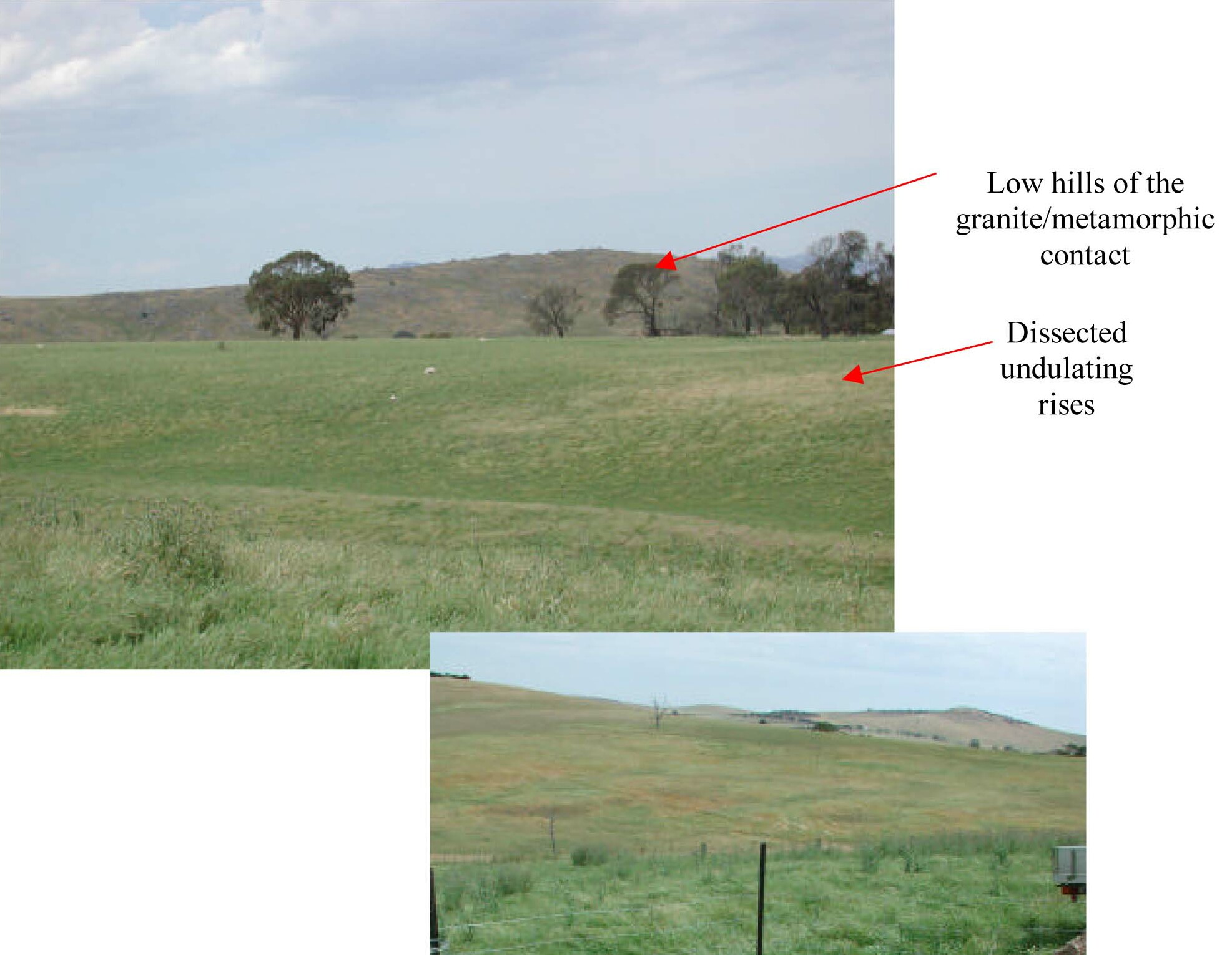
Plate 9 & 10 Metamorphics (amphibolite schist) are typically associated with shallow and bleached soils
(location near Rocky Point off Burrumbeep Rd). The landforms are typically undulating rises and low
hills/hills with abrupt colluvial slopes.
© State of Victoria (Agriculture Victoria) 1996 - .

This work, Victorian Resources Online, is licensed under a Creative Commons Attribution 4.0 licence. You are free to re-use the work under that licence, on the condition that you credit the State of Victoria (Agriculture Victoria) as author, indicate if changes were made and comply with the other licence terms.
The licence does not apply to ‘branding’ or some ‘images or photographs’ that may be owned by third parties. We ask you to seek prior approval to use images using the VRO feedback form. Access to higher quality images can also be provided on request.
This page was last updated on .