
Ararat Alluvial Land Unit
This land unit consists of the alluvial plains around Ararat and Moyston. The plains can sometimes be quite broad while others can be narrow, particularly in the steeper country. The soils tend to be Black or Grey Sodosols, Vertosols or Vertic Chromosols and are generally imperfectly drained and have very little slope.
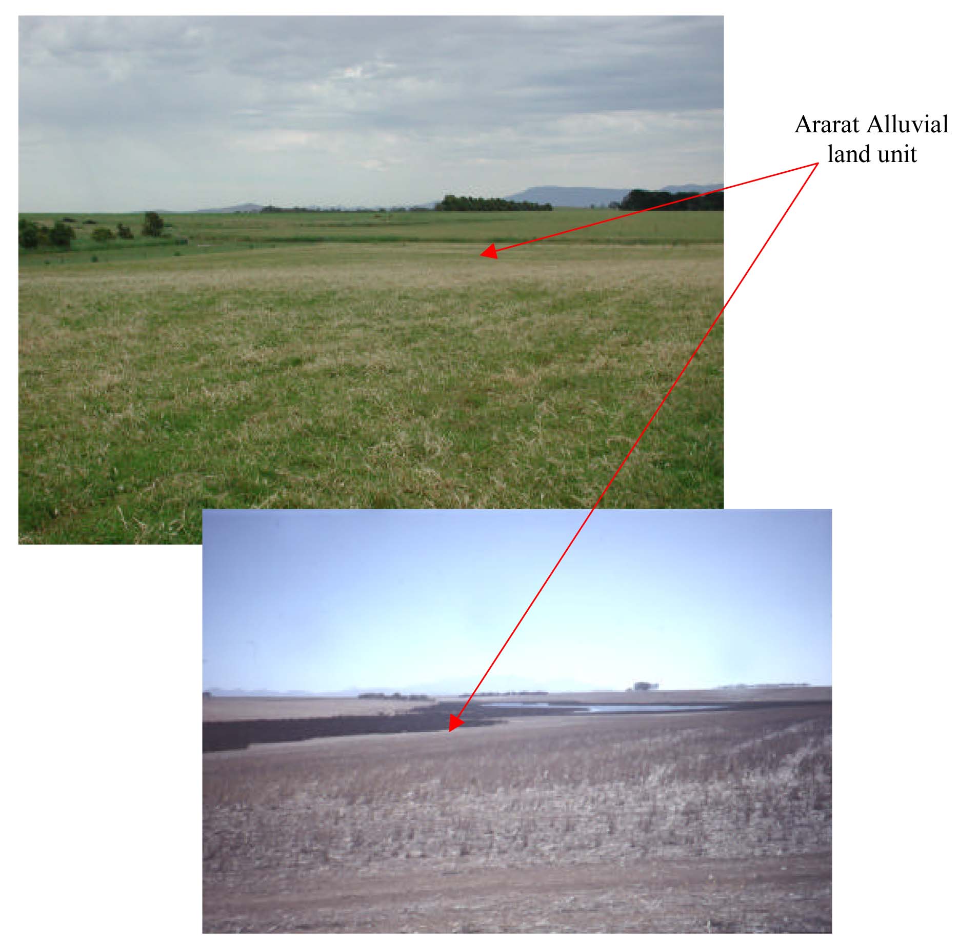
Plates 1 & 2 Alluvial sediments located in broad drainage depressions to the south
of Ararat Jacksons Creek (Plate 1) and Willaura at Boggy Creek (Plate 2).
© State of Victoria (Agriculture Victoria) 1996 - .

This work, Victorian Resources Online, is licensed under a Creative Commons Attribution 4.0 licence. You are free to re-use the work under that licence, on the condition that you credit the State of Victoria (Agriculture Victoria) as author, indicate if changes were made and comply with the other licence terms.
The licence does not apply to ‘branding’ or some ‘images or photographs’ that may be owned by third parties. We ask you to seek prior approval to use images using the VRO feedback form. Access to higher quality images can also be provided on request.
This page was last updated on .