
Land Use in Victoria 1944
In 1944 the State Regional Boundaries Committee produced an Atlas of maps covering Victoria's Land Use, Population and Natural Resources. This section provides access to a number of the maps from the report showing the broad distribution of different land uses across Victoria in 1944.
These maps were developed from often limited information but provide an important historical perspective, showing areas where certain land uses occurred over 70 years ago.
These high resolution PDF files are provided and can be viewed using the free Adobe PDF reader. This software can be downloaded from the Adobe website (external link). The following PDF's are provided with a high level of detail and with the intent that they should be printed at a high resolution.
Land Utilization (Agricultural and Pastoral)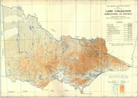 Land Utilization (Agricultural and Pastoral) - (PDF 357 KB) | Areas under Vegetable Crops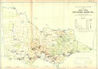 Areas under Vegetable Crops (PDF - 254 KB) |
Areas under Cultivation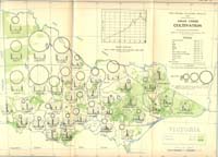 Areas under Cultivation - (PDF - 305 KB) | Areas under Oats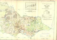 Areas under Oats (PDF - 350 KB) |
Areas under Barley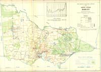 Areas under Barley (PDF - 278 KB) | Distribution of Live Stock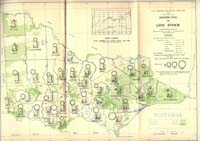 Distribution of Live Stock (PDF - 301 KB) |
Areas under Wheat 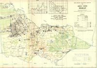 Areas under Wheat (PDF - 333 KB) | Distribution of Dairy Cows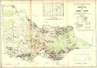 Distribution of Dairy Cows (PDF - 352 KB) |
Distribution of Sheep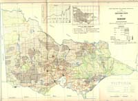 Distribution of Sheep (PDF - 373 KB) | Forest Resources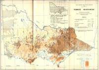 Forest Resources (PDF - 1 MB) |
Distribution of Cattle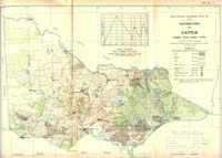 Distribution of Cattle (PDF - 346 KB) |
© State of Victoria (Agriculture Victoria) 1996 - .

This work, Victorian Resources Online, is licensed under a Creative Commons Attribution 4.0 licence. You are free to re-use the work under that licence, on the condition that you credit the State of Victoria (Agriculture Victoria) as author, indicate if changes were made and comply with the other licence terms.
The licence does not apply to ‘branding’ or some ‘images or photographs’ that may be owned by third parties. We ask you to seek prior approval to use images using the VRO feedback form. Access to higher quality images can also be provided on request.
This page was last updated on .