
Wedderburn Mapsheet - Soil Pit Sites
Back to: North Central Region Mapsheet Grid
A number of soil pit sites have been characterised on the Bendigo mapsheet. Most of these have been selected as example profiles for major soil types in the area. It is not possible to give an estimate as to how representative these sites are of major soil types in the area. Care has been exercised in site selection to take into account local variations in geology and landform. Detailed soil mapping relating to this area - by Skene (1971) and Skene and Harford (1964) can be found elsewhere on this website.
Wedderburn Mapsheet - Soil Pit Sites (PDF - 583KB)
The high resolution PDF file provided on this page can be viewed using the free Adobe PDF reader and this software can be installed from the Adobe website (external link). This PDF is provided with a high level of detail and with the intent that it should be printed at a high resolution.
The Wedderburn mapsheet is clickable. Click on the respective soil pit for detailed information. The soil pits are also listed below and are clickable.
NOTE: This page is under construction, some pit sites do not have data linked to them at present.
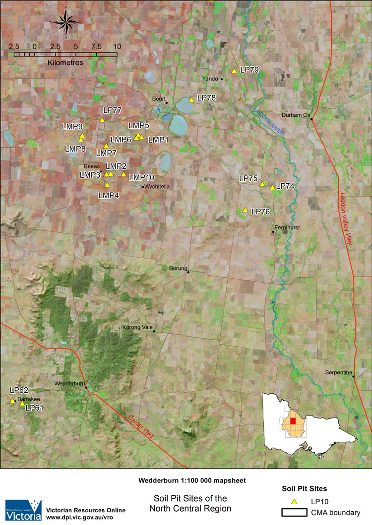
WEDDERBURN Mapsheet - Soil Pit sites | |||||
| LMP1 | LMP2 | LMP3 | LMP4 | LMP5 | LMP6 |
| LMP7 | LMP8 | LMP9 | LMP10 | ||
| LP61 | LP62 | ||||
| LP74 | LP75 | LP76 | LP77 | LP78 | LP79 |
© State of Victoria (Agriculture Victoria) 1996 - .

This work, Victorian Resources Online, is licensed under a Creative Commons Attribution 4.0 licence. You are free to re-use the work under that licence, on the condition that you credit the State of Victoria (Agriculture Victoria) as author, indicate if changes were made and comply with the other licence terms.
The licence does not apply to ‘branding’ or some ‘images or photographs’ that may be owned by third parties. We ask you to seek prior approval to use images using the VRO feedback form. Access to higher quality images can also be provided on request.
This page was last updated on .