
SWSL896
Australian Soil Classification: Haplic, ?, Red CHROMOSOL (confidence level 4)
General Landscape Description: Rolling to undulating rises and low hills
Site Description: Mid slope
Land Unit: Mount Clay Rises
Geology: Quaternary basalt
General Land Unit Description: The undulating to rolling rises and low hills in the Mount Clay area consist of red or brown Chromosols with brown coloured topsoils. There are minor occurrences of friable Red Dermosols particularly on the steeper slopes around the border of the unit. The redder well-structured soils may have a high free iron percentage and may have a higher capability of supporting a range of land uses due to favourable physical and chemical properties.
Soil Profile Morphology
Surface
| A1 | 0-10 cm | Dark reddish brown (5YR3/2) clay loam, moderate blocky structure (10-20 mm), firm consistence when dry and weak when moist, pH 6.2 . Sharp transition to: | ||
| Subsoil | ||||
| B21 | 10-30 cm | Reddish brown (5YR4/4) medium clay, weak blocky structure (5-10 mm), weak consistence when dry and moist; ferromanganiferous nodules are common, pH 6.4. Clear transition to: | ||
| B22 | 30-60 cm | Reddish brown (5YR3/4) heavy clay, moderate blocky structure (5-10 mm), rough fabric, very firm consistence when moist, basalt fragments are common (200-600 mm), ferruginous nodules (6-20 mm) are common, pH 6.7. Gradual transition to: | ||
| B23 | 60+ cm | Red (2.5YR4/6) heavy clay, many basalt fragments (60-200 mm), pH 6.8. | ||
Key profile features:
- Strong texture contrast between topsoil and subsoil
- Many basalt fragments at depth
Soil Profile Characteristics:
- | pH | Salinity |
Surface Soil (A1 horizon) | Slightly Acid | Low |
Subsoil (B21 Horizon) | Slightly Acid | Very Low |
Chemical and Physical Analysis:
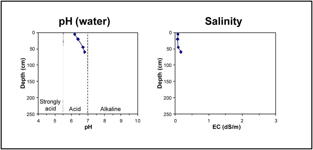
Horizon | Horizon Depth (cm) | pH (water) | EC dS/m |
A1 | 0-10 | 6.2 | 0.08 |
B21 | 10-30 | 6.4 | 0.07 |
B22 | 30-60 | 6.7 | 0.09 |
B23 | 60+ | 6.8 | 0.17 |
© State of Victoria (Agriculture Victoria) 1996 - .

This work, Victorian Resources Online, is licensed under a Creative Commons Attribution 4.0 licence. You are free to re-use the work under that licence, on the condition that you credit the State of Victoria (Agriculture Victoria) as author, indicate if changes were made and comply with the other licence terms.
The licence does not apply to ‘branding’ or some ‘images or photographs’ that may be owned by third parties. We ask you to seek prior approval to use images using the VRO feedback form. Access to higher quality images can also be provided on request.
This page was last updated on .