
MM525
| Site: MM525 | Land Unit: Dixie Basalt |
| Aust. Soil Class.: Ferric-Sodic, ?, Brown CHROMOSOL (confidence level 3) | |
 | General Land Unit Description: The undulating rises in the Dixie–Staughton Hill area, south of Terang, consist of Ferric-Sodic Brown Chromosols on mid and lower slopes and Mottled Brown Chromosols on mid and upper slopes. Shallow Chromosols and patches of redder soils occur on the crater lip and around the maar rim. |
Site Description:
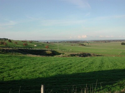
| Geology: Quaternary basalt | Landform pattern: Undulating rises |
| Position in landscape: Upper slope | Internal drainage: Imperfectly drained |
| A1 | 0-20 cm | Very dark greyish brown (10YR3/2) clay loam, hard setting surface, structure-less, firm consistence when dry, pH 5.2. Clear transition to: |
| A2 | 20-35 cm | Sporadically bleached when dry (10YR7/2) clay loam, weak consistence when dry, ferromanganiferous nodules are common. Sharp transition to: |
| Subsoil | ||
| B21 | 35-50 cm | Yellowish brown (10YR5/4) medium clay, yellowish brown mottles, strong blocky structure (10-20 mm), many ferromanganiferous nodules, pH 6.0: |
| B22 | 50+ cm | Yellowish brown (10YR5/4) medium clay, yellowish brown mottles, blocky structure, many ferromanganiferous nodules, pH 6.1. |
Key profile features:
- Strongly acidic topsoil
- Many ferromanganiferious nodules in subsoil
- Mottled subsoil
- Subsoil dispersive when worked when wet

© State of Victoria (Agriculture Victoria) 1996 - .

This work, Victorian Resources Online, is licensed under a Creative Commons Attribution 4.0 licence. You are free to re-use the work under that licence, on the condition that you credit the State of Victoria (Agriculture Victoria) as author, indicate if changes were made and comply with the other licence terms.
The licence does not apply to ‘branding’ or some ‘images or photographs’ that may be owned by third parties. We ask you to seek prior approval to use images using the VRO feedback form. Access to higher quality images can also be provided on request.
This page was last updated on .