
Dookie Mapsheet - Soil Pit Sites
Back to: Goulburn Broken Region Mapsheet Grid
Dookie Mapsheet - Soil Pit Sites (PDF 1471KB)
The high resolution PDF file provided on this page can be viewed using the free Adobe PDF reader and this software can be installed from the Adobe website (external link). This PDF is provided with a high level of detail and with the intent that it should be printed at a high resolution.
This is a clickable map. Click on soil pit for detailed information.
NOTE: This page is under construction, some pit sites do not have data linked to them at present.
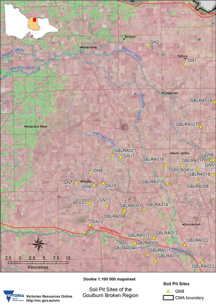
DOOKIE Mapsheet - Soil Pit Sites | ||||||
| ASSS1 | ||||||
| GBLRA004 | GBLRA005 | GBLRA006 | GBLRA007 | GBLRA008 | GBLRA010 | GBLRA011 |
| GBLRA012 | GBLRA013 | GBLRA014 | GBLRA015 | GBLRA016 | GBLRA017 | GBLRA018 |
| GBLRA021 | GBLRA022 | GBLRA023 | GBLRA027 | GBLRA029 | ||
| GN1 | GN2 | GN5 | GN6 | GN7 | GN8 | GN9 |
| GN10 | GN11 | GN12 | GN13 | TOPCROP 11 | ||

© The State of Victoria, 1996 - .
This page was last updated on .