
EGRS219
Location: 6 km south of Combienbar
Australian Soil Classification: Acidic, Dystrophic, Red DERMOSOL
Map Unit: Turton
Previous Site Name: 219
General Landscape Description: Steep hills
Site Description: Upper slope
Land Use: Grazing
Native Vegetation: Shrubby dry forest
Geology: Late Devonian fluvial sediments (conglomerate, sandstone, mudstone)
Soil Profile Morphology:
| Surface soil | 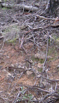 | ||
A11 | 0 – 15 cm | Dark reddish brown (5YR3/2-3); fine sandy loam; moderate granular structure moderately weak consistence; common subangular large sedimentary pebbles; clear change to: | |
A12 | 15 – 30 cm | Dark reddish brown (5YR3/4); fine sandy loam; massive; common subangular large sedimentary pebbles; gradual change to: | |
A3 | 30 – 60 cm | Dark reddish brown (5YR3/4); fine sandy clay loam; weak subangular blocky structure; common angular, sedimentary pebbles; clear change to: | |
| Subsoil | |||
B2 | 60 – 140 cm | Reddish brown (2.5-5YR4/4); silty clay; moderate angular blocky structure; many angular large sedimentary pebbles; gradual change to: | |
B3 | 1.4 m+ | Many angular large sedimentary pebbles increasing with depth. |
Chemical and Physical Analysis:
Horizon | Horizon Depth (cm) | pH (water) | pH (CaCl2) | EC dS/m | Organic Carbon % | Total Nitrogen % | Exchangeable Aluminium ppm | Exchangeable Acididty meq/100g | Exchangeable Cations | |||
Ca | Mg | K | Na | |||||||||
meq/100g | ||||||||||||
A11 | 0-15 | 5.1 | 4.3 | 0.08 | 2.42 | 0.10 | 176 | 16.5 | 1.74 | 1.22 | 0.41 | 0.31 |
A12 | 15-30 | 5.3 | 4.4 | <0.05 | 1.33 | <0.01 | 163 | 12.3 | 0.91 | 1.12 | 0.30 | 0.20 |
A3 | 30-60 | 5.6 | 4.3 | <0.05 | 0.64 | <0.01 | 218 | 10.2 | 0.61 | 1.12 | 0.30 | 0.10 |
B2 | 60-90 | 5.5 | 4.1 | <0.05 | 0.34 | <0.01 | 439 | 11.7 | 0.31 | 1.23 | 0.31 | 0.10 |
© State of Victoria (Agriculture Victoria) 1996 - .

This work, Victorian Resources Online, is licensed under a Creative Commons Attribution 4.0 licence. You are free to re-use the work under that licence, on the condition that you credit the State of Victoria (Agriculture Victoria) as author, indicate if changes were made and comply with the other licence terms.
The licence does not apply to ‘branding’ or some ‘images or photographs’ that may be owned by third parties. We ask you to seek prior approval to use images using the VRO feedback form. Access to higher quality images can also be provided on request.
This page was last updated on .