Your gateway to a wide range of natural resources information and associated maps

Victorian Resources Online

East Gippsland Survey Map

Back to: Soils and landforms of East Gippsland

East Gippsland survey map (PDF - 2822KB) The high resolution PDF file provided on this page can be viewed using the free Adobe PDF reader and this software can be installed from the Adobe website (external link). This PDF is provided with a high level of detail and with the intent that it should be printed at a high resolution.

This is a clickable map. Click survey area on map for more detailed information.
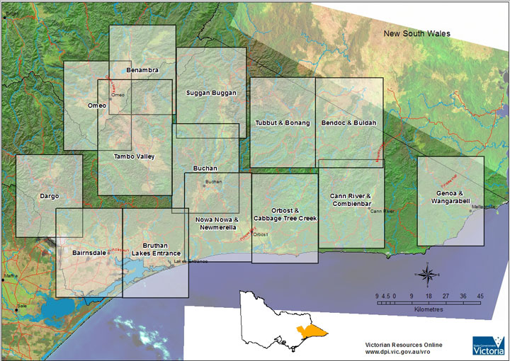
East Gippsland soil manual soil pit map - Survey map Dargo Bairnsdale Bruthen Lakes Entrance Buchan Gelantipy Gelantipy Suggan Buggan Omeo Benambra Tambo Valley Tubbut Bonang Bendoc buldah Nowa Nowa Newmerella Orbost Cabbage Tree Creek Cann River Combienbar Genoa Wangarabell

East Gippsland Survey area

DargoBairnsdaleBruthen Lakes EntranceBuchan and GelantipyGelantipy and Suggan Buggan
OmeoBenambraTambo ValleyTubbut and BonangBendoc and Buldah
Now Nowa and NewmerellaOrbost and Cabbage Tree CreekCann River and CombienbarGenoa and Wangarabell
Page top