
8223-5 The Big Plain
|
This information has been developed from the publications:
|
Location: | 850500. 15 kilometres east of Mt Tamboritha. | 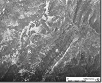 Big Plain. Vegetation stripes related to bedding (A) and of unknown origin (B). |
Abstract: | Unusual striped vegetation pattern. | |
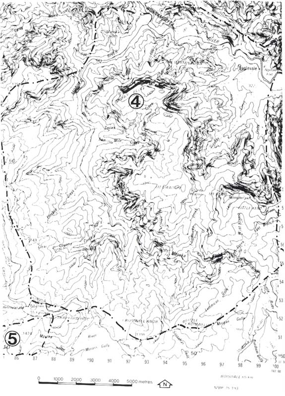
Access: | Track form McFarlane Saddle via Moroka Road. | |
Ownership: | Crown land. | |
Geomorphology: | The Big Plain is characterised by a curved, striped vegetation pattern, which is unique in this area although it has similarities to the vegetation stripes occurring at Reedy Creek (Site 8523-1). The origin of these features is unknown, but the vegetation pattern may reflect minor landform variations, e.g. stone stipes, black streams or other periglacial features. | |
Significance: | Unknown. Investigation may reveal a unique vegetation-landform relationship. | |
Management: | The vegetation pattern should not be disturbed until more detailed investigation has established the origin and the significance of the pattern. | |
 8223 4-5 |
© State of Victoria (Agriculture Victoria) 1996 - .

This work, Victorian Resources Online, is licensed under a Creative Commons Attribution 4.0 licence. You are free to re-use the work under that licence, on the condition that you credit the State of Victoria (Agriculture Victoria) as author, indicate if changes were made and comply with the other licence terms.
The licence does not apply to ‘branding’ or some ‘images or photographs’ that may be owned by third parties. We ask you to seek prior approval to use images using the VRO feedback form. Access to higher quality images can also be provided on request.
This page was last updated on .