
Maps showing Declared Special Water Supply Catchments Areas in Corangamite
Back to: Declared Special Water Supply Catchment Areas in the Corangamite CMA
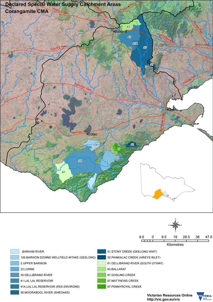
Declared Special Water Supply Catchment Areas in Corangamite CMA (PDF - 4MB). A PDF file is provided that can be viewed within most modern browsers or using the free Adobe PDF reader. It is provided at a resolution suitable for printing.
© State of Victoria (Agriculture Victoria) 1996 - .

This work, Victorian Resources Online, is licensed under a Creative Commons Attribution 4.0 licence. You are free to re-use the work under that licence, on the condition that you credit the State of Victoria (Agriculture Victoria) as author, indicate if changes were made and comply with the other licence terms.
The licence does not apply to ‘branding’ or some ‘images or photographs’ that may be owned by third parties. We ask you to seek prior approval to use images using the VRO feedback form. Access to higher quality images can also be provided on request.
This page was last updated on .